
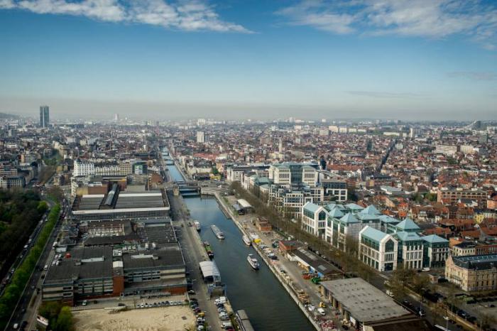
The Government of the Brussels-Capital Region has initiated the Canal Plan in order to achieve a set of objectives in the central part of the city, on both sides of the waterway:
- to keep economic activity in the city and strengthen its urban integration;
- to create housing that meets the needs associated with population growth for all household profiles;
- to create pleasant, unifying public spaces (in particular by promoting the Canal axis and its crossings);
- to create the conditions for an open city by promoting a mix of functions, a diverse population, etc.
The Government has given itself ten years to realise its ambitions in the Canal Area.
To mobilise Canal Area’s potential, it has defined an operational zone of 700 hectares, including 300 hectares of public land.
It has also appointed a dedicated team, which brings together several public bodies in Brussels. This team operates using an innovative method based on co-construction and project planning.
The preliminary studies are available via the links below (PDF) :
- Alexandre Chemetoff & associés. The Canal Plan: creating a method
- Alexandre Chemetoff & associés. The Canal Plan on trial: constructing an urban alternative